Prologue
 JP
JPFrom this time, I will talk about Japan’s topography and climate.


Terrain and climate?
Isn’t this a bit off topic from the main topic of this site, which is history and culture?


It’s certainly not completely unrelated, but I think it’s a little different.
However, there is a reason why I chose topography and climate this time.


What is the reason?


As I will introduce the history and culture of Japan on this site, I want the people who see this site to be able to imagine the actual Japan as much as possible.


Mm-hmm.


Japan is an island country that stretches from north to south, and its topography has significant characteristics compared to the continent.
It faces the Sea of Japan to the north and the Pacific Ocean to the south, and is influenced by ocean currents and seasonal winds.
This results in large differences in climate between regions, even though they are not very far apart in straight line distance.


Yes, it is.
There are many plains on the continent, but Japan has many mountains.
It snows a lot on the Sea of Japan side, but not so much on the Pacific side.
There are quite a few differences.


That is correct.
The sense of climate classification based on topography and distance differs from the areas where many people viewing this site live.
I thought that if people who don’t know Japan’s topography and climate watch the upcoming series, they might not be able to understand why and what is happening.
Therefore, I decided to focus on topography and regions in order to give you a general idea of Japan’s topography and climate by reading the articles starting this time, and to make it easier to imagine the content of future series.


I see!
This is an article that will help you imagine the content of the future series!


That is correct.
So, in the first part of Topography and Climate, I will talk about Japan’s rivers.
Different from normal! Japanese rivers that are rare in the world
About Japan’s rivers
Many rivers
Japan is a country with many rivers.
There are several types of rivers under the law, but more than 30,000 rivers are designated as “first-class rivers,” “second-class rivers,” and “relevant rivers.”
why are there so many rivers
As you can see from the image below, the reason for this is that there are many mountains and the terrain makes it easy for rivers to form.


Abundant water resources
Blessed with many rivers, water resources are very abundant.
The average amount of water used per person per day is 214 liters.
It is a country that uses a large amount of water for domestic use even in the world.
Japan’s famous rivers
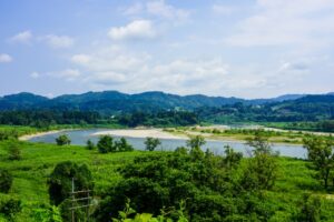
1st Place Shinano River
The longest river in Japan that flows through Niigata and Nagano prefectures.
In the old days, it was called “Okawa”, but later it came to be called Shinano River because it flows from Shinano Province.
The total length is 367km.

2nd Place Tone River
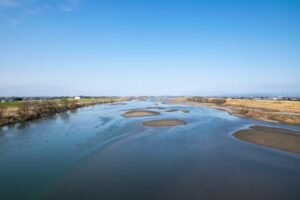
The river, whose water source is Mt. Omizukami, flows through the Kanto region and is used as a water source for the Tokyo metropolitan area.
Known as “Bando Taro”, it is one of the most violent rivers in Japan.
The total length is 322km.

3rd place Ishikari River
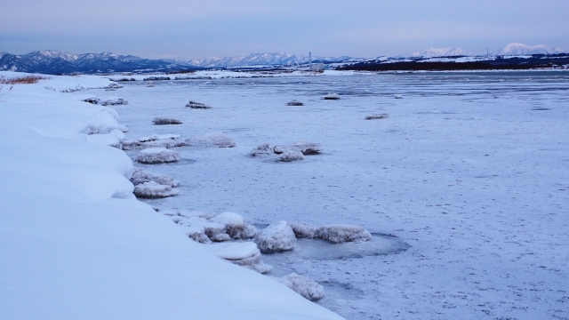
A river that flows through the central western part of Hokkaido and empties into the Sea of Japan.
“Ishikari” is a phonetic equivalent and the name comes from the Ainu language.
The total length is 268km.

Characteristics of Japanese rivers
Characteristics of the river ① Shortness
Because the country is long from north to south, the area is not large, so the distance from the water source to the mouth of the river is short.
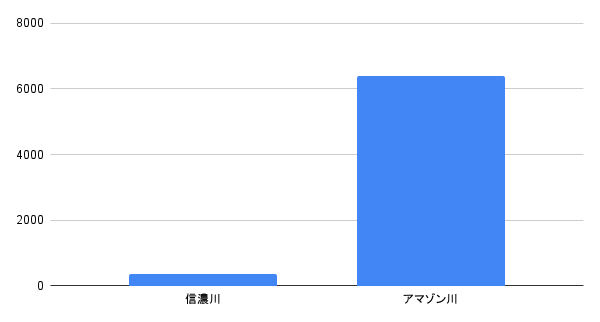
The longest river in Japan is the Shinano River at 367km.
The Amazon River in South America, the longest river in the world, is 6,400 km long, so it is only about one-twentieth as long.

Characteristics of the river② Rapid river
Japan’s rivers are by no means long, but what distinguishes them from other rivers in the world is the rapid flow of the rivers.
This is because the distance from the water source to the mouth of the river is short, as is the length.
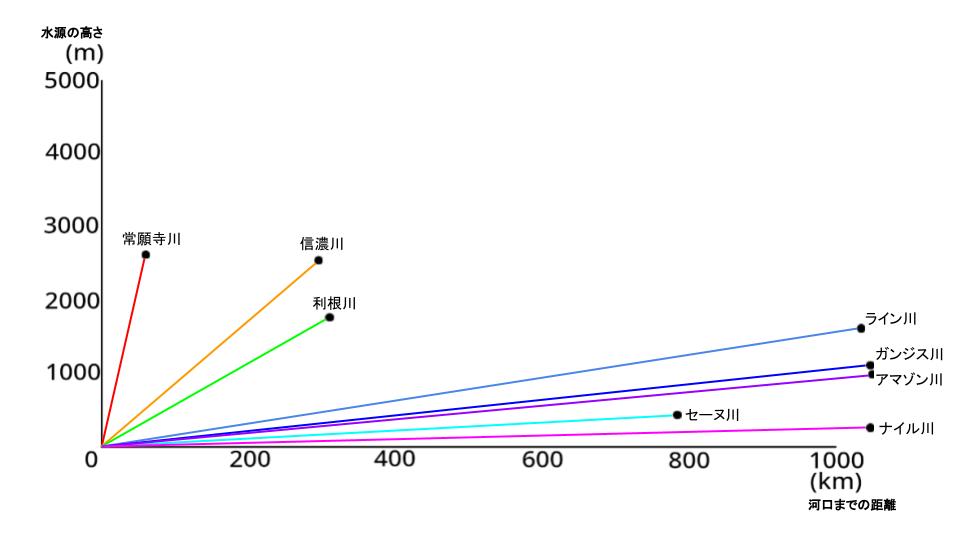

In the graph above, the Shinano River and the Tone River.
Then there is the graph comparing the Joganji River, which is known for its rapid flow, and the long-flowing river, which is well known around the world.
The closer to the front of the graph, the steeper the slope and the faster the current.
As you can see, you can see that the rivers in Japan are rapid.
Many disasters
In addition to the rapid currents mentioned above, Japan’s rivers are meandering due to the many mountains, so they are prone to flooding and have always been side by side with floods.
In modern times, flood control technology has been developed, and flood damage is not as common as in the old days, but flood damage still occurs when heavy rains and typhoons come.
During rains and typhoons, the weather forecaster often says, “Please stay away from swollen rivers.”
Historical flood control projects
I would like to introduce two historical flood control projects.
①Shingen embankment
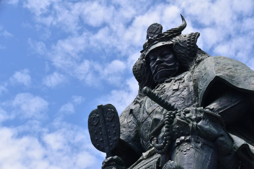

This is flood control work done by Shingen Takeda, a feudal lord of Kai Province.
It is a comprehensive flood control project that not only builds embankments but also installs various flood control structures.
The place where the Shingen embankment was built is the floodplain of both the Fuefuki River and the Kamanashi River, and has been a region of frequent floods due to heavy rain since ancient times.
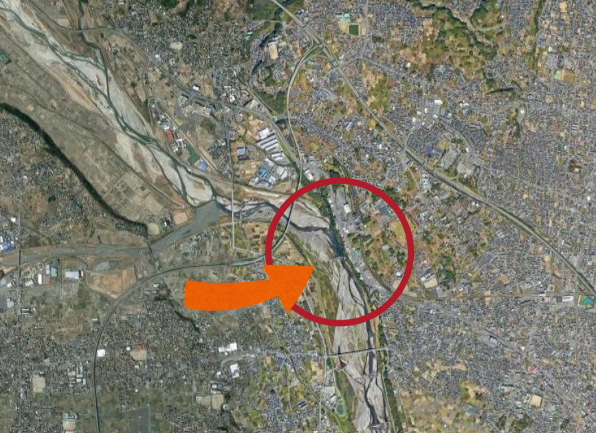

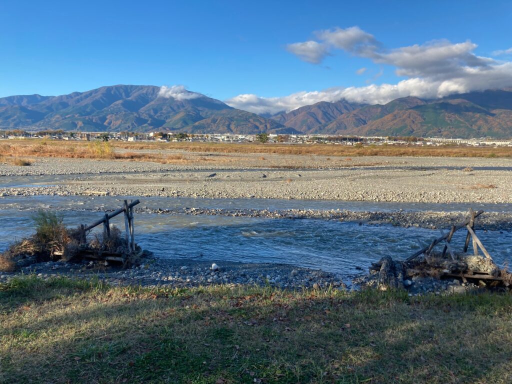

It is said that this construction started around 1542 (Tenbun 11).
At that time, Shingen had just banished his father and became the new lord of the country.
He may have wanted to win the trust of the people by doing flood control here.
②The Tone River moves eastward
Large-scale river construction in the Edo period.
Before building embankments, this was a major undertaking to tidy up the countless rivers that flowed into the urban area, gather them into the Tone River, and divert the flow around the urban area.
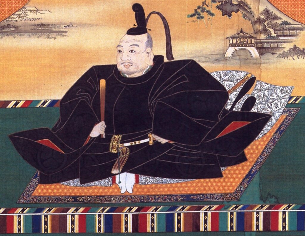

The inventor was Ieyasu Tokugawa, the first shogun of the Edo Shogunate.
The project began around 1590, and the final construction was completed in 1665.


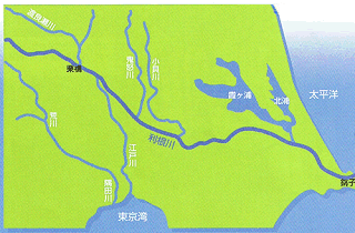

Looking at the image, you can see that the flow of the river has changed considerably.
The impact of rivers on history
Japan’s rivers have caused flood damage due to their characteristics and have plagued the rulers.
Also, because it is easy to defend, it is often used as a stage in battle.
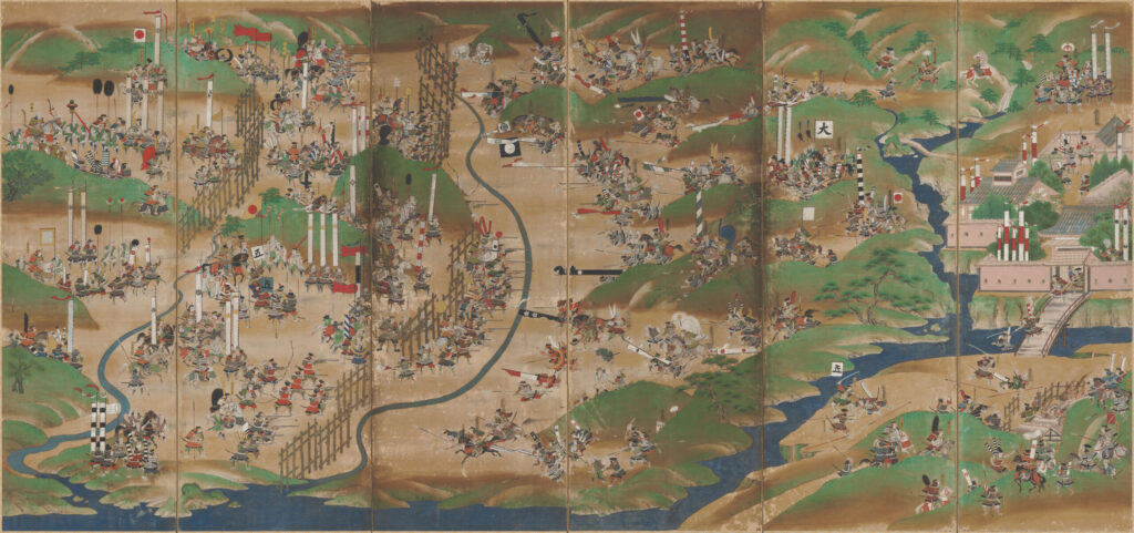


Battle of Nagashino, Battle of Anegawa, Battle of Mimikawa.
All battles were fought across rivers.
I will write about the historical impact of the river in a future history article.
Epilogue


This time, I explained things related to rivers in Japan.
I think that in future articles I will talk about historical events that take place across rivers, but I think it will be easier to understand if you keep in mind the characteristics of rivers in Japan that you learned in this article.


I learned that there are many rivers in Japan, and the flow is rapid.
We are blessed with water, but there are many disasters.
I also learned that various flood control projects have been carried out since ancient times.


Next time, I will talk about mountains in Japan.
Please look forward to it.


See you next time!
